
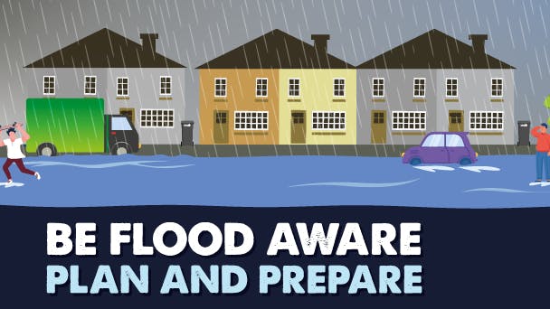
Local Flood Risk Management Strategy
A Local Flood Risk Management Strategy is a document which is updated every six years or when there is a significant change in policy or legislation around flood risk. The Flood Risk Strategy has the purpose of specifying which public bodies are responsible for which types of flooding, in addition to setting out clear objectives for managing local flood risk (groundwater, ordinary watercourses and surface water) within the borough. There are four main sources of flooding, and these are from surface water, fluvial flooding (otherwise known as river flooding), sewer flooding and groundwater flooding.
Please use the map tab below to put a pin of where you have seen or experienced flooding, this information will help us add to the information we already have, you do not need to participate in the survey to do this.
There are four outputs of the Flood Risk Strategy:
- The main strategy document;
- An associated action plan;
- Strategic Environmental Assessment screening report; and
- Habitats Regulations Assessment screening report.
Please ensure you read the strategy documents and action plans before you fill in the consultation which are located to the right hand side of the page. There are shorter versions of the strategy documents available that focus on the objectives, different types of flooding, how to report a flood and what should you doing before, during and after one and a helpful explanation of what sustainable drainage schemes are and the impact of the strategy in relation to climate change.
The strategic objectives listed below are what the borough will aim to deliver through the action plan:
- To improve knowledge and understanding of flood risk in Redbridge and wider catchments.
- To deliver successful and targeted flood alleviation schemes which maximise wider social, economic and environmental benefits.
- To develop knowledge and access to funding to improve the resilience of communities and future development.
- To ensure development appropriately mitigates flood risk by prioritising the use of sustainable drainage schemes and by aiming to achieve greenfield runoff rates.
- To support successful communication between stakeholders and the effective engagement of communities to enable improvements to flood risk management.
- To address climate change impacts by improving sustainability and working towards carbon neutral targets.
We welcome you to attend one of these sessions below that we are calling "flooding roadshows". These are located in previously flooded areas in the borough to explain the strategy and answer any questions but to also talk to you about what we have done in the borough to date, what we are looking to do in the future and demonstrate some home flood defence tools. We are hopeful Thames Water, the Environment Agency and our partner Thames21.org.uk will be able to join us for most of these.
Date and Time | Where | Covering what Flood Hotspot |
6 June 2023 5pm-7.30pm | Westwood Rec | Westwood Rec |
13 June 2023 5pm-7.30pm | Fullwell Leisure Centre | Fullwell |
20 June 2023 5pm-7.30pm | Christchurch Green | Wanstead |
27 June 2023 5pm-7.30pm | Woodford station – Charteris Road | Woodford (River Roding area) |
4 July 2023 5pm-7.30pm | Peel Place | Clayhall |
Following the public consultation, the Council will collate and review the feedback received from all stakeholders and members of the public. The Council will then confirm details of where suitable adjustments to the strategies and action plans should be made. Final approval of the package of the Flood Risk Strategy and associated documents will then be put to Cabinet for formal approval and adoption, who will decide to sign off and allow for final publication.
Documents
-
 Flood Risk Strategy Short Version (526 KB) (pdf)
-
Strategic and Habitat Assessment Short Version (471 KB) (pdf)
-
Redbridge Local Flood Risk Management Strategy.pdf (726 KB) (pdf)
-
Redbridge Habitats Regulation Assessment.pdf (1.42 MB) (pdf)
-
Redbridge Strategic Environmental Assessment.pdf (636 KB) (pdf)
-
Flood Risk Strategy Action Plan (679 KB) (pdf)
